North Walsham & District Community Archive

North Walsham Area from Faden's Map of Norfolk (1797) - North Walsham Photograph

North Walsham Area from Faden's Map of Norfolk (1797)

(Map 1797 / North Walsham, Norfolk)
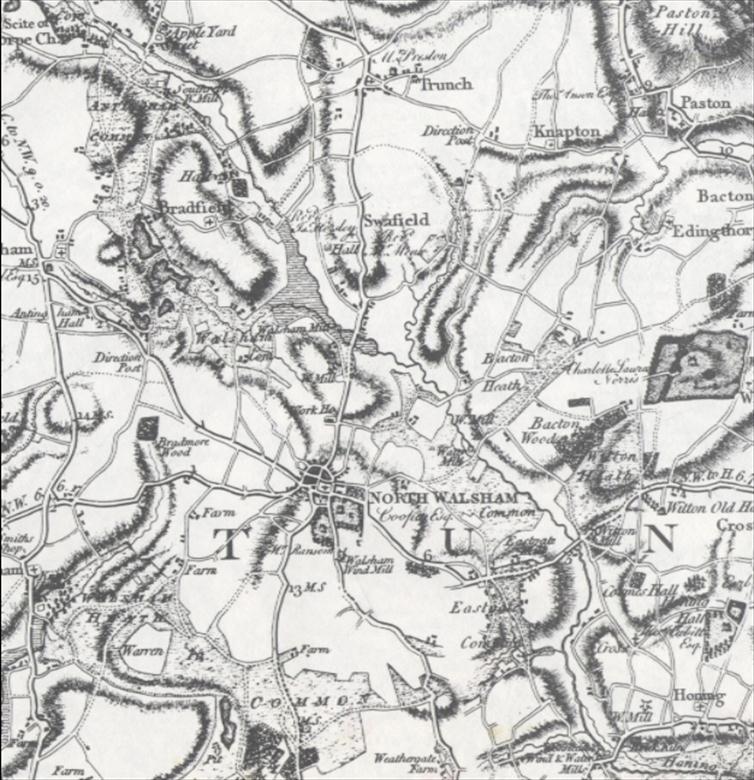
Photograph. North Walsham Area from Faden's Map of Norfolk (1797) (North Walsham Archive).

Archive Website ID: 13 This archive item has been viewed 5050 time(s).


Tags: bradfield | trunch | knapton | paston | bacton | edingthorpe hill | witton | honing | map | faddens |


More North Walsham photos from...
1797,
We believe this photograph of "North Walsham Area from Faden's Map of Norfolk (1797)" is either in the public domain or we have been granted permission to use it by the photograph owner. If you believe "North Walsham Area from Faden's Map of Norfolk (1797)" is being used without the appropriate permission then please do not hesistate to contact us here.
If you would like to use this photograph of "North Walsham Area from Faden's Map of Norfolk (1797)" in your own project then please acknowledge North Walsham & District Community Archive and the appropriate owner (if shown) on the page where it is used, thank you.
If you wish to use this photograph of "North Walsham Area from Faden's Map of Norfolk (1797)" in print then please contact us as we may have a higher resolution copy on file in our HQ!